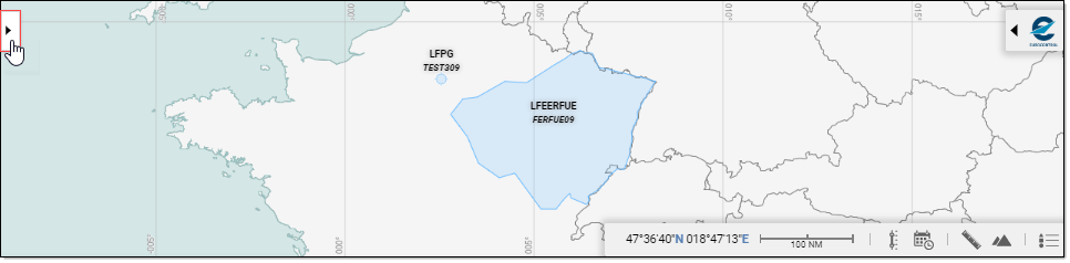
All actions in relation with Map management are occurring in the Map Dossier Tray - click on the  arrow to open it ...
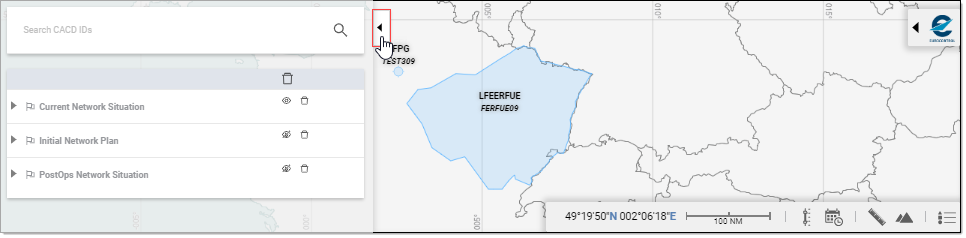
... and conversely, click on the  arrow to close:
Dossier Layout
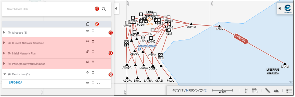
- Search CACD IDs: Used to query the ENV system for objects to plot on the Map,
- Map Content List: Table grouping by Type the various items participating in the Map,
- (Default) Plan layers: Depending on the originating link from which you access the Interactive Map, the corresponding layer will be set to visible (and all others set to invisible),
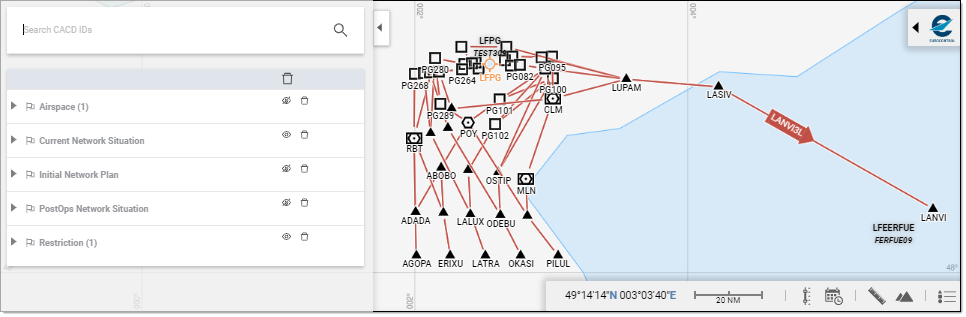
- Custom section: Objects added via the Search CACD IDs are listed in the Content List and grouped by Type of Entity (the number of items of the concerned type is indicated between parenthesis),
- Custom section: Groups can be expanded to display the content and allow actions on individual layers.
Action from the Map Dossier
All global actions commonly associated to the usage of map data are present in the Dossier:
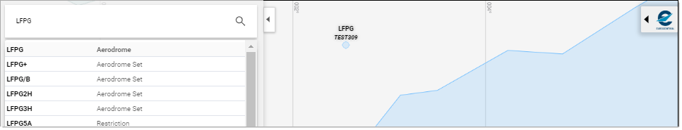
Query for CACD Entities
Start to type in the ID you are searching for, and note how the Results list is populated as you go:
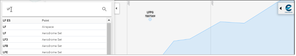
... and when the list has been narrowed down sufficiently for your purpose, simply locate the searched item and click on it:
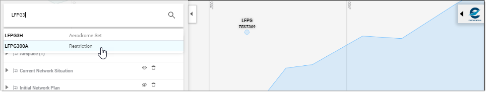
Plot on the Map
No further action than querying as presented above is required to have the selected Entity plotted on the Map:
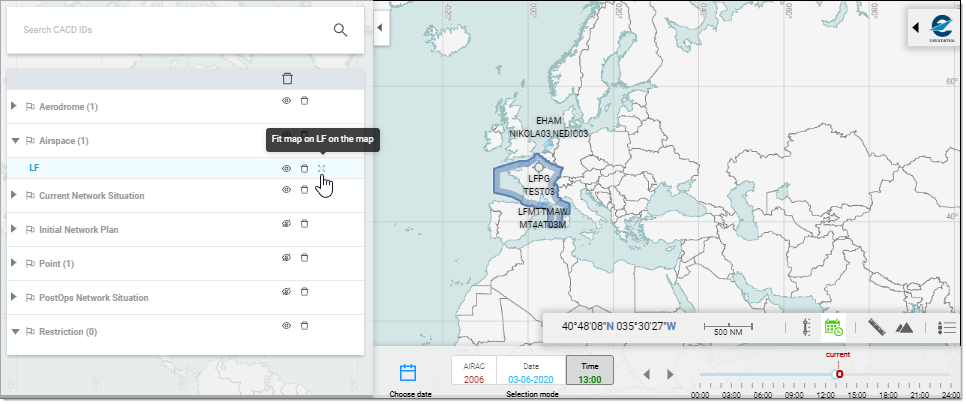
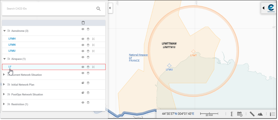
Manage Visibility
The following functions serve to facilitate visibility management:
- Hide,
- Show,
- and Delete plans, types and entities.
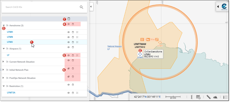
- Identify (from List): Mouse over to reveal on the Map and bring up a tooltip displaying basic definition (Entity Type / Entity ID / Name),
- Identify (from Map): Mouse over to bring up a tooltip displaying basic definition (Entity Type / Entity ID / Name),
- Expand/collapse subsections,
- Actions at Type level:
- Hide [Type]

- Show [Type]

- Delete

- Hide [Type]
- Actions at Entity level:
- Hide [Entity]
- Show [Entity]
- Delete
- Fit on Map

- Hide [Entity]
- Actions at Plan level:
- Hide [Plan]
- Show [Plan]
- Delete
- Hide [Plan]
- Global delete at List level: removes all "custom" layers from the Map
Fit on map
Zooms in in such a way that the selected entity fully occupies the available map space:
Details
Objects and entities printed in Blue are actually hyperlinks ...
... that you can follow to open the corresponding Detail pages/sections:
